Tag Archives: Texas

History Unspoken is History Forgotten

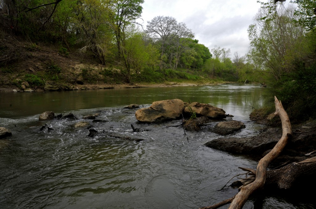
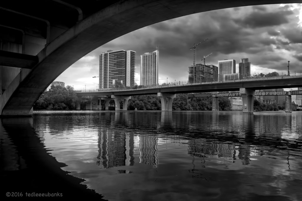
Lady Bird Lake from under the Lamar Blvd ©2017 Ted Lee Eubanks

William Barton settled near a springs west of the mouth of Shoal Creek in the 1830’s. He left a canoe on the north bank of the Colorado River so that people in the new settlement of Austin could visit his namesake. Barton’s canoe remained the only transportation across the river until the establishment of ferries in the late 1840s.

John J. Grumbles set up a regular ferry at Shoal Creek, at the western edge of the city, where William Barton kept his canoe. Shoal Creek remained one of the most important river crossings until the construction of permanent bridges. 

Narrative is the way in which we understand our world and our place in it. Yet, the stories that comprise narrative are mutable and dynamic. We build our narratives with bricks that are still wet and easily shaped.

Over time and space, stories evolve. Eventually, an evolved story will become a new species, a social construct bearing little resemblance to the actual event or action it purportedly describes.

Narratives typically contain a rich and varied array of stories and ideas; however, at any given time, a certain set of stories (and memories) tends to dominate. In other words, there is a dominant narrative that society, in general, follows.

The interpreter’s responsibility is to offer a narrative that extends outside the bounds of that which is in vogue. In other words, the interpreter’s task is to challenge the public to consider interpretations that extend beyond those in current use. The interpreter’s job is to reveal what is hidden under the veneer of convention.

The interpreter’s job is to reveal what is hidden under the veneer of convention.

Stories convey something about what we believe to be stable in the world. Yet, contrast the image above to what we know of Billy Barton’s Austin in the 1830’s. In dynamic cities such as Austin, nothing could be less stable than the community. The median age of an Austin resident is 31. Half of Austin’s citizens were born outside of Texas; 20% were born outside of the United States.
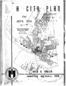
Austin City Plan 1928

Austin as a society is as unstable as its landscape. In this unstable and rapidly evolving environment, history unspoken or unrecognized is history quickly forgotten. The prevailing narrative becomes increasingly incomplete.

Here is one example. Austin is a city divided. Most of the minority community (African-American, Latino) lives east of Interstate 35. The reason is rooted in forgotten history. The 1928 Austin City Plan recommended the creation of a “negro district” east of East Avenue (now I-35). According to the engineers (Koch and Fowler) who developed this city plan;

In our studies in Austin we have found that the negroes are present in small numbers, in practically all sections of the city, excepting the area just east of East Avenue and south of the City Cemetery. This area seems to be all negro population. It is our recommendation that the nearest approach to the solution of the race segregation problem will be the recommendation of this district as a negro district, and that all the facilities and conveniences be provided the negroes in this district, as an incentive to draw the negro population to this area.

And, it worked. Most of Austin’s Latino and African-American population settled in East Austin, and has remained there ever since. With the city’s explosive growth, however, developers have discovered that East Austin is ripe for gentrification. East Austin is being redeveloped at breakneck speed, and many long-time residents are fighting a wave of gentrification that is crashing over their neighborhoods. Many see this as another instance of displacement at the hands of the descendants of those who displaced them in the 1920s.

What if no one is aware of the 1928 City Plan, or the decades of battles that were fought by Latino and African-American communities to gain their civil rights? What if no one has heard of Sweatt v Painter, or the battle over the Crosstown Expressway, or the conflict over renaming West 19th after Martin Luther King? All of this happened before most Austinites were born.

Unless this history is shared by the community, for the community, how will anyone know? The inevitable result of this gentrification is a community that feels under attack, developers that are increasingly impatient with the city, and a city government that is perplexed and ill-equipped to offer solutions.

The inevitable result of gentrification is a community that feels under attack, developers that are increasingly impatient with the city, and a city government that is perplexed and ill-equipped to offer solutions.

History that is unspoken is history that is forgotten. When history is untold, a fiction moves in to fill the void. And, this “new” history, as expressed through stories and memories, shapes actions. History informs the future, even when its incorrect or misshapen.

One solution to this problem is to have interpreted history, in all of its permutations, accessible to the people. The cloistering of history within a museum or university warehouse isn’t enough. History cannot be the exclusive domain of academicians and the local historical society.

Civic spaces such as historical squares are ideal places for introducing the public to the history that shapes the present and influences the future. Civic spaces are common grounds, places where the community can come together to better understand, appreciate, and celebrate a shared heritage. Travelers learn about the soul of the community when visiting these spaces.

Fermata is working with the Downtown Austin Alliance, in partnership with the Austin Parks and Recreation Department, to develop interpretive strategies for the three remaining public squares: Brush, Republic, and Wooldridge. These squares, part of Edwin Waller’s 1839 plan for Austin, are Austin’s original civic spaces.

We believe that history must be part of our everyday lives. History is as much about now as it is about then. Historical narrative is a way in which we understand our world and our place in it. Without that narrative, we are lost.
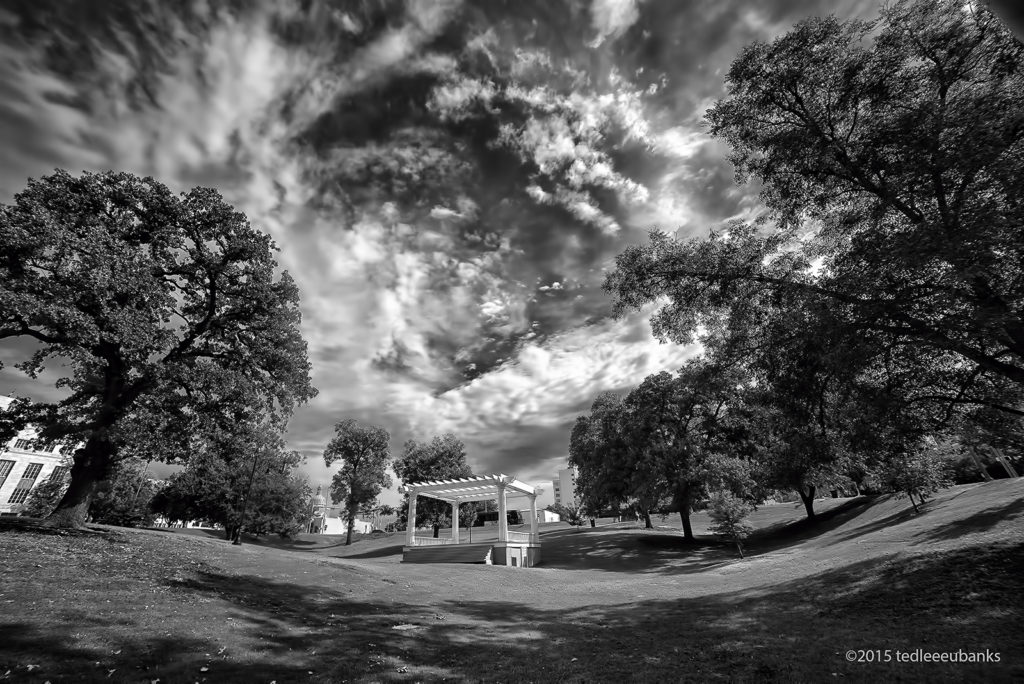
Wooldridge Square ©2017 Ted Lee Eubanks

Retrospective

Don’t look back. Something might be gaining on you…Satchel Paige

Looking back is a luxury that we can rarely afford. Fermata is a consultancy; we live from contract to contract. The good news is that we stay busy. The bad news is that we rarely get the opportunity to look back over our accomplishments.

Monument Rocks, Kansas, by Ted Lee Eubanks
With the year’s end approaching, perhaps we should take the time to consider our work. For example, I am currently helping Kansas develop an ecotourism strategy. Governor Brownback and Kansas Wildlife, Parks and Tourism (KWPT) Secretary Robin Jennison brought me into the project to facilitate the development of the strategy. This coincides with our work on interpretive plans for the 11 Kansas byways, as well as the writing of an interpretive plan for the state byways as a whole.

This is not our first project where we have worked directly with the governor. Several years ago we developed the Maine ecotourism strategy for then-Governor Baldacci. In Pennsylvania we worked with Governor Tom Ridge, then continued with Governor Ed Rendell. The results of that decade-long collaboration were the Pennsylvania Wilds and another 4 Conservation Landscape Initiatives (CLIs). We began the birding trail craze in Texas with Governor Ann Richards.

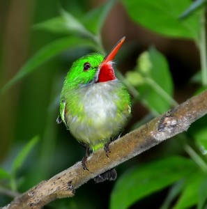
Jamaican tody (Todus todus), Windsor Research Centre, Jamaica, by Ted Lee Eubanks
We are also completing the final draft of an interpretive plan for the Sandhills Journey Scenic Byway in Nebraska. Our work in Nebraska dates back to the 1990s when we looked at socio-economic benefits of the Platte River for the EPA. Even then I spent time in the Sandhills, one of the iconic American landscapes.

Our interpretive work for the Society for the Conservation and Study of Caribbean Birds (SCSCB) has extended across the Caribbean as well. Recently I completed an interpretive strategy for Key Biodiversity Areas (KBAs) in the Dominican Republic, Jamaica, and Grenada. Last week I worked in Jamaica with the Windsor Research Centre, conducting a workshop on sustainable recreation and tourism as a development alternative. We hope to continue our work on the Caribbean Bird Trail this next year, extending its reach throughout the Basin.

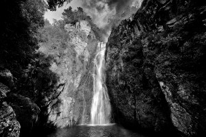
Aguas Blancas, Dominican Republic, by Ted Lee Eubanks
We have also continued our work with URS on the San Antonio River. In the next few months we will look at the value of the lower river as a wildlife corridor that connects the Texas Hill Country with the Gulf of Mexico. The San Antonio River Authority (SARA) is the client, and we are excited to be able to continue our work in this fascinating and little-known region of Texas.

When I started Fermata in 1992 I thought that I would focus on birds and nature. Little did I know where the trail would lead. Now we work in cultural and historical landscapes as much as with nature. Our services now span the interpretive range from planning to products. Yet one trait ties all of these disparate parts together. We are still driven by curiosity, by a simple need to reveal “beautiful truths.”

Ted Lee Eubanks
Founder & President

San Antonio River Authority Watershed Plan

San Antonio River between Kenedy and Runge

Have you ever heard of Kenedy, Texas? What about Falls City, Helena, Runge, or Goliad? Surely you know of the San Antonio Riverwalk? The San Antonio River doesn’t suddenly halt once it passes the Alamo. The river flows south to San Antonio Bay and the Gulf of Mexico. The spaces in between San Antonio and the Gulf, however, are relatively unknown even among Texans.

Mission Nuestra Señora del Rosario (established in 1754)
Fermata is part of a team that has been engaged by the San Antonio River Authority (SARA) to develop a holistic watershed plan for the lower San Antonio River in Karnes and Goliad counties. Our role is to develop sustainable park and recreation plans. Currently we are designing conceptual plans for a linear park along Escondido Creek in Kenedy, and the restoration of Lake Paul in Runge. Part of our planning includes expanding the San Antonio River water trail, and to consider ways to develop hike-and-bike trails on the original San Antonio / Aransas Pass rail bed.

The past is also part of our investigations, and this region is incredibly rich in Spanish Colonial and Texas history. The Oxcart Trail, the El Camino Real de los Tejas, Camp Kenedy (a WWII internment camp), La Bahia, and longhorn cattle drives are but a part of what the lower San Antonio River has to offer. Our thanks go to SARA and to URS (the prime on the contract) for allowing us to participate in such a remarkable project.

Fermata’s Ted Lee Eubanks at the National Conservation Training Center

Ted joined a panel of nature tourism experts at the National Conservation Training Center (NCTC) in Shepherdstown, West Virginia this week. The panel presented and discussed nature tourism and the implications for federal public lands. Joining Ted on the panel were Mike Carlo and Toni Westland of the US Fish and Wildlife Service (USFWS), Nancy Millar of the McAllen (Texas) Chamber of Commerce, with Nancy Zapotocki, Kevin Kilcullen, and Randy Robinson (all of the USFWS) providing behind-the-scenes support and guidance. This broadcast is the first presented in the USFWS Human Dimensions of Natural Resource Conservation series. Here is a link to this 90-minute broadcast. For those interested in additional information and resources related to Ted’s talk, we have added a page to our website with links to a broad collection of papers, reports, books, and presentations.

For those interested in watching the 90-minute segment, please use this link NCTC Human Dimensions in Conservation Series

Nature Tourism in South Texas – A Model

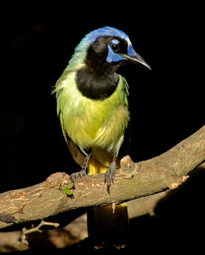
Green Jay, Laguna Atascosa NWR
Fermata began working in the Lower Rio Grande Valley (LRGV) of South Texas in the early 1990s. Our first project involved developing the Great Texas Coastal Birding Trail for Texas Parks and Wildlife in that area. We followed that work with the feasibility study for the World Birding Center, the strategic plan for the World Birding Center, nature tourism strategies for several of the communities there such as Mission, Weslaco, and South Padre, a feasibility study for the new centers at Weslaco and South Padre Island, and interpretive enhancements at Quinta Mazatlan in McAllen.

Early in our work we assessed the economic impacts of nature tourism in key LRGV sites such as Santa Ana NWR, Bentsen-Rio Grande State Park, and the Sabal Palms sanctuary near Brownsville. At that time (at least 15 years ago) we estimated an annual impact of $125 million from nature tourism in South Texas. A number of people were surprised by that figure, and questioned its accuracy. How could birders and other nature tourists contribute so much to that economy?

In recent months a study by Texas A&M has covered the same ground. This research comes after the implementation of much of the work listed above. Texas A&M now estimates that the impact is $300 million per year, almost three times our original estimate made prior to the community, state, and federal investments.

The communities there have been on board from the very beginning, and the results show the importance of their commitment and investments. Texas Parks and Wildlife has led the effort from the outset, and their investments (including two new state parks) have been invaluable. Congratulations to all involved in making South Texas a model for nature tourism development!