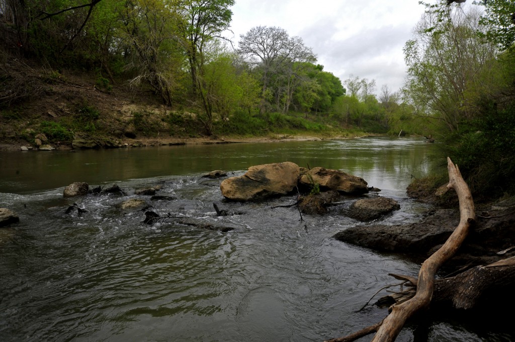
Have you ever heard of Kenedy, Texas? What about Falls City, Helena, Runge, or Goliad? Surely you know of the San Antonio Riverwalk? The San Antonio River doesn’t suddenly halt once it passes the Alamo. The river flows south to San Antonio Bay and the Gulf of Mexico. The spaces in between San Antonio and the Gulf, however, are relatively unknown even among Texans.

The past is also part of our investigations, and this region is incredibly rich in Spanish Colonial and Texas history. The Oxcart Trail, the El Camino Real de los Tejas, Camp Kenedy (a WWII internment camp), La Bahia, and longhorn cattle drives are but a part of what the lower San Antonio River has to offer. Our thanks go to SARA and to URS (the prime on the contract) for allowing us to participate in such a remarkable project.